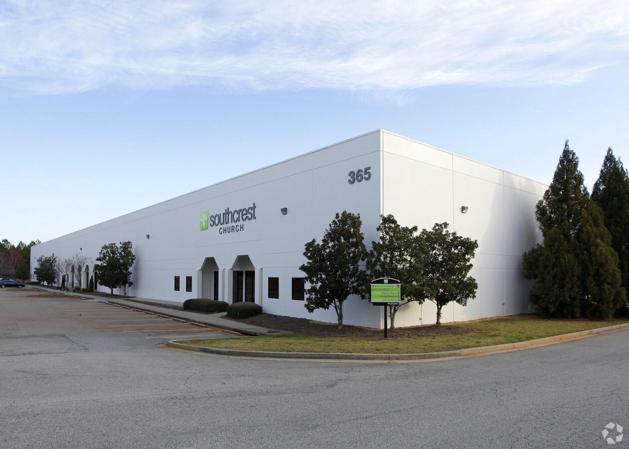
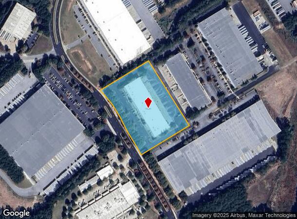
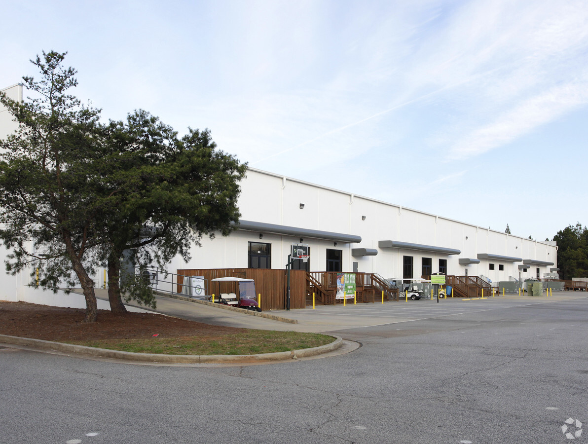
Property Record
365 International Park, Newnan, GA 30265

NEARBY LISTINGS FOR SALE OR LEASE
-
-
View all Newnan listings for sale on LoopNet.com
Property Detail
365 International Park
Atlanta-Sandy Springs-Roswell, GA
B4-1
097-5082-007
CHURCH/4.65AC/LL83LD5/365 WALT SANDERS MEM
Religious
Coweta
X
Georgia
13077C0165D
83
2023
4.65 AC
2023
Fayette/Coweta County
170310
Atlanta
48,000 SF
DEMOGRAPHICS near 365 International Park
1 Mile
3 Mile
5 Mile
2024 Total Population
362
29,727
77,472
2029 Population
391
32,856
86,275
Pop Growth 2024-2029
+ 8.01%
+ 10.53%
+ 11.36%
Average Age
46
40
39
2024 Total Households
150
11,803
29,327
HH Growth 2024-2029
+ 7.33%
+ 10.59%
+ 11.41%
Median Household Inc
$105,263
$83,782
$85,810
Avg Household Size
2.30
2.50
2.60
2024 Avg HH Vehicles
2.00
2.00
2.00
Median Home Value
$209,524
$267,271
$278,650
Median Year Built
1996
1999
1999
Nearby Places
- Restaurants
- Banks
- Shops
- Fitness
- Groceries
PUBLIC TRANSPORTATION
AIRPORT
Hartsfield - Jackson Atlanta International
DRIVE
WALK
Distance
Hartsfield - Jackson Atlanta International
41 min
29.3 mi
Freight Ports
Georgia Ports - Savannah
DRIVE
WALK
Distance
Georgia Ports - Savannah
297 min
251.6 mi
Nearby Properties
Address
Land Use
TOTAL SIZE
Lot Size
Zoning
Address
Land Use
TOTAL SIZE
Lot Size
Zoning
286,548 SF
26.47 AC
ND
Address
Land Use
TOTAL SIZE
Lot Size
Zoning
449,108 SF
53.36 AC
C2
Address
Land Use
TOTAL SIZE
Lot Size
Zoning
269,327 SF
6.57 AC
ND
Address
Land Use
TOTAL SIZE
Lot Size
Zoning
1,001,000 SF
118.56 AC
R1
Address
Land Use
TOTAL SIZE
Lot Size
Zoning
272,918 SF
24.21 AC
ND
Address
Land Use
TOTAL SIZE
Lot Size
Zoning
562,800 SF
34.39 AC
R1
Address
Land Use
TOTAL SIZE
Lot Size
Zoning
1,206,927 SF
109.06 AC
R1
Address
Land Use
TOTAL SIZE
Lot Size
Zoning
1,206,927 SF
109.06 AC
R1
Address
Land Use
TOTAL SIZE
Lot Size
Zoning
323,991 SF
22.48 AC
001
Address
Land Use
TOTAL SIZE
Lot Size
Zoning
395,621 SF
35.51 AC
001
Address
Land Use
TOTAL SIZE
Lot Size
Zoning
1,955,650 SF
101.74 AC
M
Address
Land Use
TOTAL SIZE
Lot Size
Zoning
1,079,000 SF
73.44 AC
M
Address
Land Use
TOTAL SIZE
Lot Size
Zoning
403,472 SF
61.64 AC
M
Address
Land Use
TOTAL SIZE
Lot Size
Zoning
196,093 SF
17.31 AC
002
Address
Land Use
TOTAL SIZE
Lot Size
Zoning
349,504 SF
26.40 AC
C2
Address
Land Use
TOTAL SIZE
Lot Size
Zoning
252,746 SF
20.93 AC
M
Address
Land Use
TOTAL SIZE
Lot Size
Zoning
457,922 SF
45.16 AC
R1
Address
Land Use
TOTAL SIZE
Lot Size
Zoning
766,418 SF
215.23 AC
M
Address
Land Use
TOTAL SIZE
Lot Size
Zoning
367,120 SF
28.82 AC
M
Address
Land Use
TOTAL SIZE
Lot Size
Zoning
229,770 SF
30 AC
001
Address
Land Use
TOTAL SIZE
Lot Size
Zoning
269,327 SF
6.57 AC
ND
Address
Land Use
TOTAL SIZE
Lot Size
Zoning
102,007 SF
18.92 AC
002
Address
Land Use
TOTAL SIZE
Lot Size
Zoning
215,344 SF
28.12 AC
R1
Address
Land Use
TOTAL SIZE
Lot Size
Zoning
224,314 SF
51.61 AC
R1
Address
Land Use
TOTAL SIZE
Lot Size
Zoning
299,520 SF
32.45 AC
R1
Address
Land Use
TOTAL SIZE
Lot Size
Zoning
111,730 SF
23.33 AC
001
Address
Land Use
TOTAL SIZE
Lot Size
Zoning
109,692 SF
10.94 AC
ND
Address
Land Use
TOTAL SIZE
Lot Size
Zoning
108,138 SF
6.36 AC
002
Address
Land Use
TOTAL SIZE
Lot Size
Zoning
446,159 SF
49.05 AC
M
Address
Land Use
TOTAL SIZE
Lot Size
Zoning
446,159 SF
49.05 AC
M
The World's #1 Commercial Real Estate Marketplace
Connect with us
© 2025 CoStar Group
The information above has been obtained from sources believed reliable. While we do not doubt its accuracy we have not verified it and make no guarantee, warranty or representation about it. It is your responsibility to independently confirm its accuracy and completeness. Any projections, opinions, assumptions, or estimates used are for example only and do not represent the current or future performance of the property. The value of this transaction to you depends on tax and other factors which should be evaluated by your tax, financial, and legal advisors. You and your advisors should conduct a careful, independent investigation of the property to determine to your satisfaction the suitability of the property for your needs.